 |
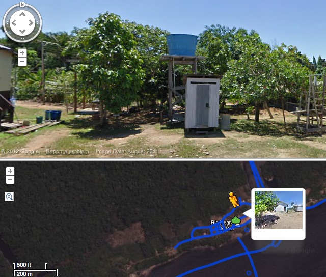
| This is a picture of the Amazon Rainforest on Google |
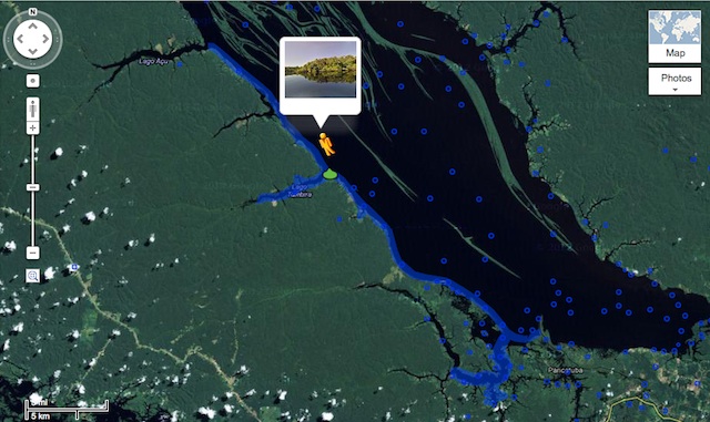
Back in August, Google announced that it was teaming up with nonprofit Foundation for a Sustainable Amazon to map a small section of the massive Rio Negro river (tributary of the Amazon) near Manaus. As expected, it took quite a while, but the results are now available for you to play with.
The area they covered is a sort of inlet west of Manaus and the coastline northwards from there. The idea is apparently just to provide a way for people to see what it’s like there without hopping on a plane and chartering a boat. The project resulted in 50,000 still pictures, which have been stitched into 50km of shore, forest, and village for your Street Viewing pleasure.

The Google blog post has a lot of highlights for you to check out if you’re interested. Predictably, something landed on the camera assembly at one point, and there are probably a few other Easter eggs to be found if you’re thorough.
Lastly, here’s a little behind-the-scenes video that shows how they captured some of the images shown here. The Street View Trike doesn’t look like it was made with off-road in mind.
Other Pictures:
No comments:
Post a Comment